
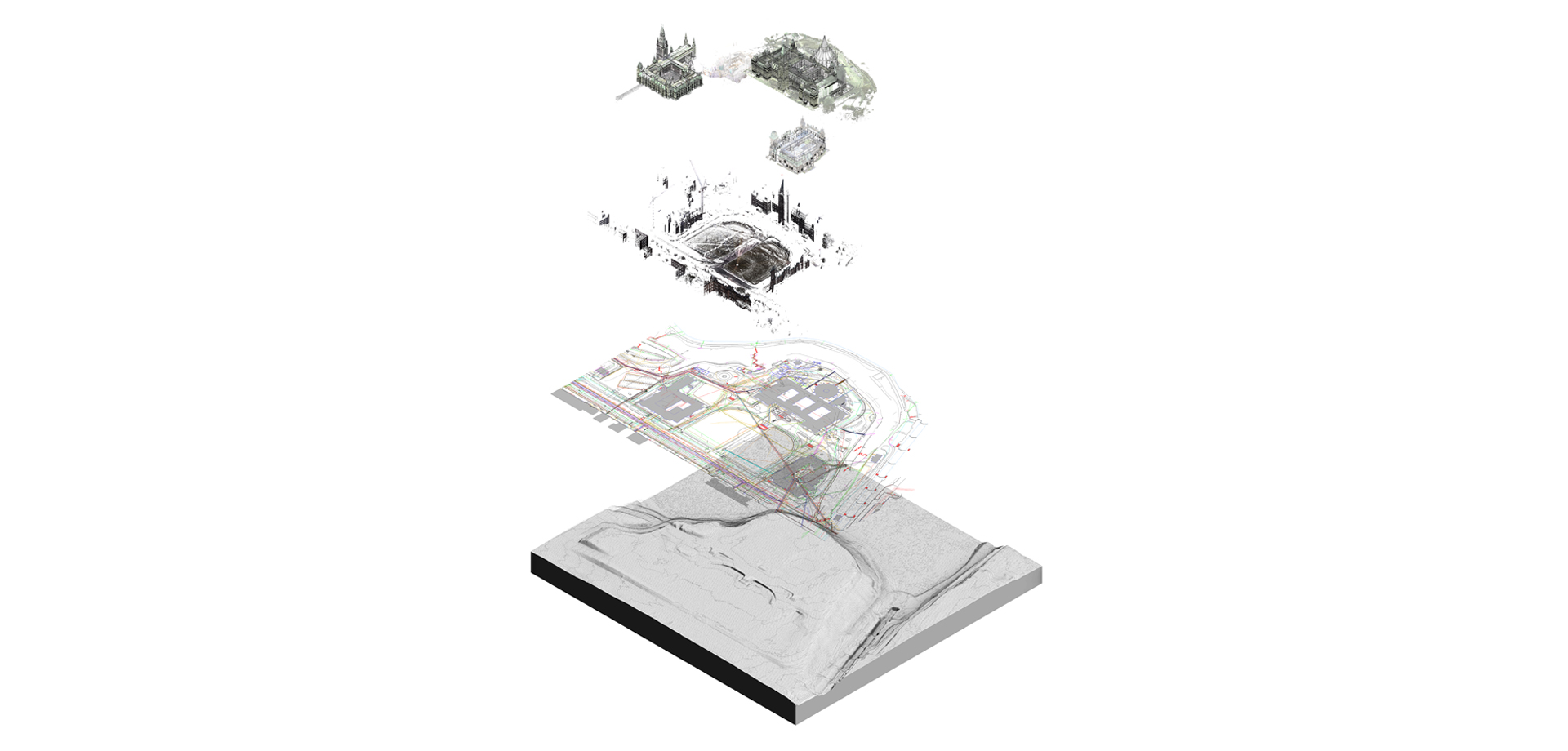
Parliament Hill Topography: Building Information Model
The model of the Parliament Hill topography and landscaping features is built to support the West and Centre Block programs of work. The Model draws on existing GIS data held by PSPC and terrestrial laser scanning using the Leica C10 and P40.
CIMS is responsible for the terrestrial laser scanning and construction of the model in Autodesk Revit.