
Ontario East 3D
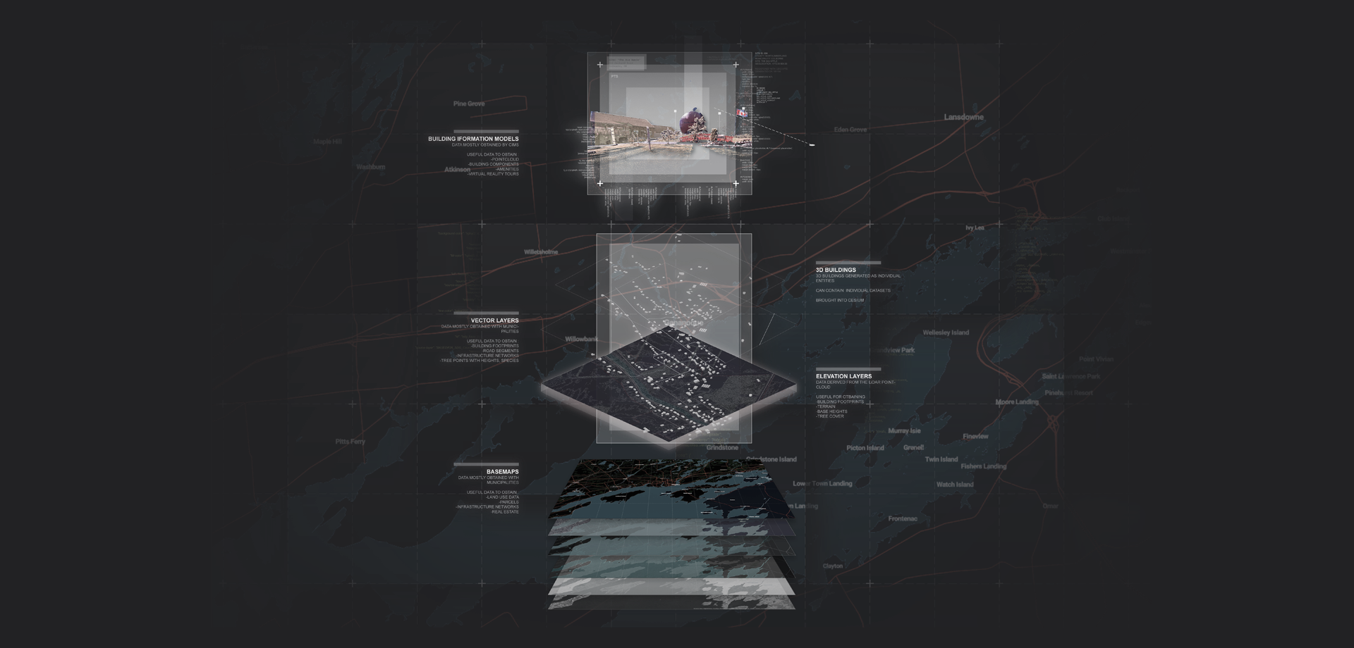
In 2016, in partnership with The Ontario East Economic Development Commission (OEED, we started exploring the potential of AIM to represent and manage multi-dimensional graphic and semantic assets related to a geospatially large (40,000+km2), non-urban environment in Eastern Ontario. The area under study is comprised primarily of what Statistics Canada identifies as “rural and small town” (RST) census subdivisions with varying degrees of metropolitan influence. The objective of the project is to develop a web-based, three-dimensional model that could be used to create, manage, and valorize digital assets related to economic activity in the region. For the first phase, we are mapping all assets related to the agri-food industry in the region.
<video src="//videos.ctfassets.net/ujrjk97g2nk9/60QGPXG1Yk24OmIW8iOu8i/714740752f9b54eded0d1d1d8b0704b8/IN-TEXT_-_DEMO_ANIMATION.mp4" controls type="video/mov"> </video>For more information about the project, visit our blog page.