
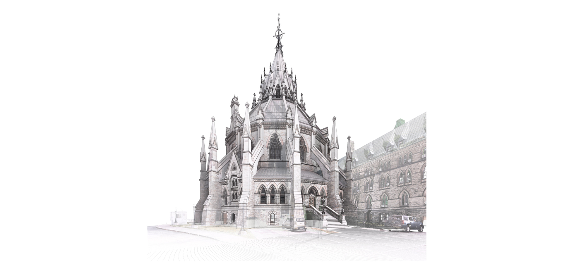
The Library of Parliament Building Information Model
The Library of Parliament Building information model captures one of Canada’s most significant heritage monuments. Developed through a research partnership between Public Services and Procurement Canada and the Carleton Immersive Media Studio, the Library BIM project is part of a larger effort to explore the application of digital technologies for architectural rehabilitation and heritage conservation at the Parliament Hill National Historic Site.
In addition to the 97 highly detailed terrestrial laser scans of the main library reading room, the BIM was developed using diverse data sources including geo-referenced photogrammetry, CAD, historical photographs, and technical and research reports.
Modelling the complex curved geometry, intricate details, and surface deformations to a high level of development from point cloud data required the augmentation of BIM workflows typical for new construction and the development of novel protocols.
Due to the scale and diversity of datasets used to develop the Library BIM, one of the primary challenges was communicating the source and verification of individual model elements to model users. This resulted in the creation of a verification system that lists the source of the data within the properties of each model element and whether it is wholly, partially, or not verified to a geo-referenced point cloud. The Library of Parliament Model is our most complex BIM project to date. Our objective has been to both create an accurate and detailed heritage record as well as capture the sense of awe that the building inspires.
At the 4th Annual CanBIM Innovation Spotlight Awards, the Library of Parliament BIM took home the Best in Innovation and Academic Award. See the full video here.