Documentation in Paphos, Cyprus
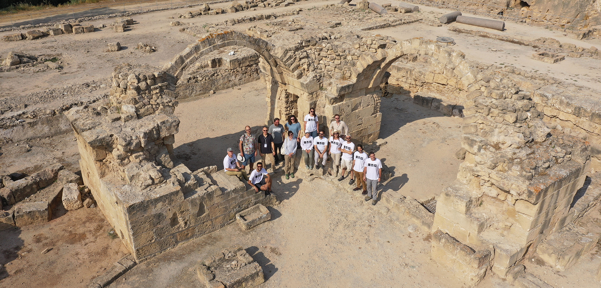
Carleton Immersive Media Studio (CIMS) has been working in collaboration with the Getty Conservation Institute (GCI) and the Department of Antiquities of Cyprus (DoA) on a heritage site documentation project in Paphos, one of three UNESCO World Heritage Sites in Cyprus. The site contains archaeological remains from early antiquity to the Byzantine period, including a number of rare and impressive Roman mosaics. The exceptional historical value of the site and its important associations with the cult of Aphrodite justified its listing in 1980 (UNESCO). Two sites were included in the listing: Nea Paphos and its Necropolis.
CIMS’ role in the documentation project, under contract to the GCI, is to map and record the as-found condition of the archaeological site of Paphos that will be used for a master management plan for the conservation of the site. The project started in June 2018 when a CIMS team, led by Dr. Mario Santana, travelled to Paphos for a three-week documentation campaign. The primary focus of the first phase was the documentation of the main archaeological site of ancient Nea Paphos, including the residential area in which many of the beautiful mosaics can be found.
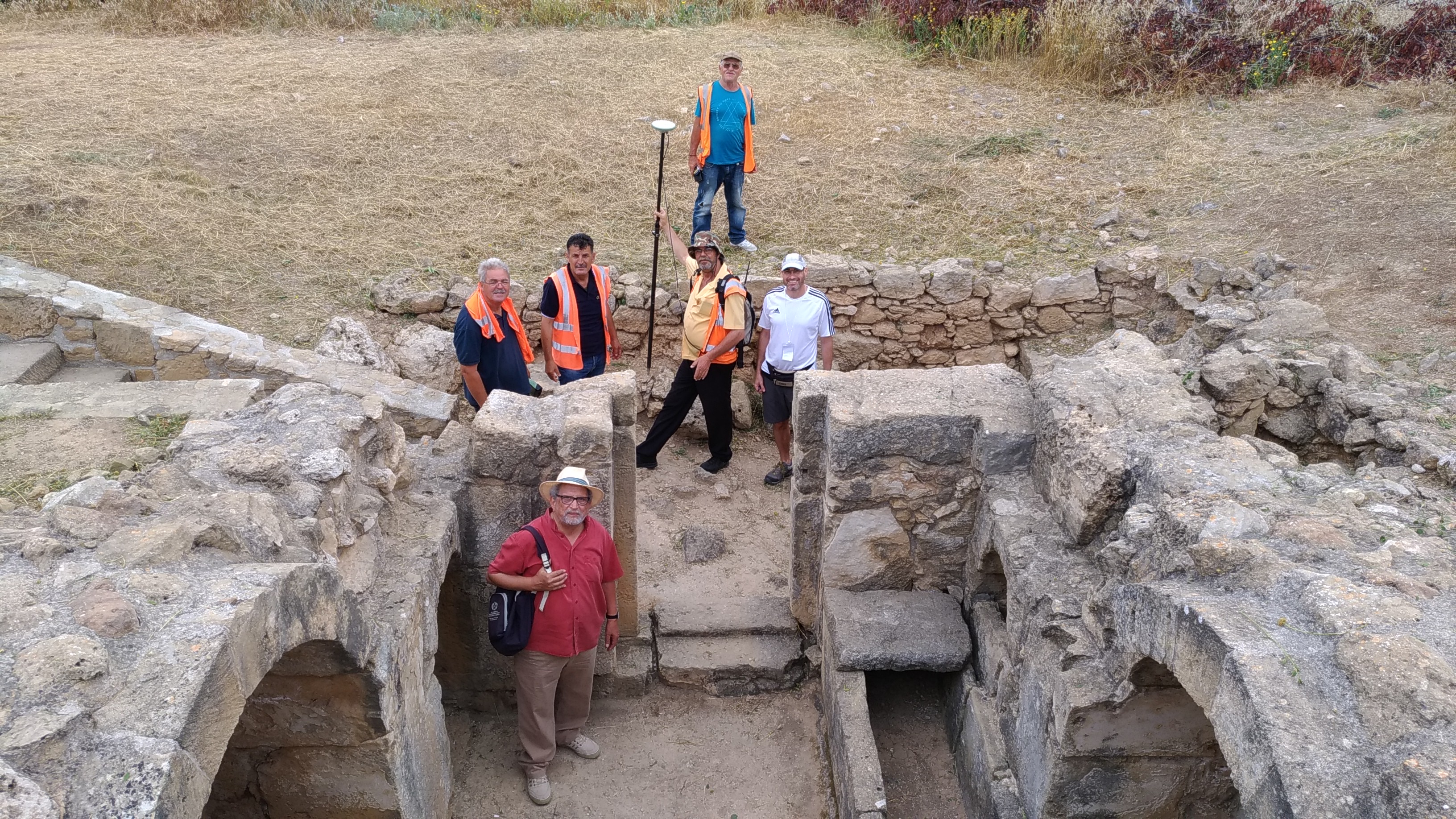
The second phase of the project started in June 2019 with another documentation campaign, led again by Dr. Santana, which continues the work from 2018. The focus of the second phase is to document the underground spaces of the Tombs of the Kings, a series of caves in an area called Fabrika, and some additional areas within the main archaeological site of Nea Paphos. The three weeks of on-site field documentation started with the establishment of a survey control network that is being used to geo-locate all the data collected on site. Members of the CIMS team worked with Cypriot land surveyors to measure ground control points (GCPs) based on the Cypriot reference system.

During the first week the CIMS team, along with members of the DoA, documented the Tombs of the Kings. The underground areas were captured with a laser scanner (terrestrial 3D scanning) while the entire site was photographed using an unmanned aerial system (UAS), a drone, flown at a height of 10-20 m as part of the process of aerial photogrammetry. Two additional researchers from CIMS joined the team in week two to specifically document the mosaics using terrestrial photogrammetry, a process that produces a high-quality orthophoto (a geometrically-corrected photograph). In order to accurately capture colour and detail, the mosaics were photographed at night when lighting can be controlled using a system of flashes to ensure consistent lighting conditions. During the second and third weeks of the campaign, the CIMS team also documented the Fabrika area which includes caves, a theatre complex, underground chambers and chapels (Agios Lambrianos and Agia Solomoni), and a Frankish bath. The fabric of the ancient city is so varied and integrated with the modern urban fabric of Paphos that all three methods of documentation were selectively employed in order to holistically capture the site.
The CIMS team is currently back in the lab in Ottawa processing the data captured in Paphos and producing site plans, floor plans, and orthophotos of the documented site and mosaics. This November two members of the CIMS team will return to Paphos with all the produced drawings in hand for verification of the interpreted data and a quality check. After the quality check and any necessary revisions the outputs of the second phase will be integrated with the data from phase one in a comprehensive geographic information system (GIS).