

OE3D: Asset Information Modelling
A major component of the development of OE3D includes the digitization of assets over the 50,000 km2 area covered in the app. At its core, OE3D aims to use Asset Information Modelling, a derivative of Building Information Modelling, to document Non-Urban Environments. This means that in addition to geographic information modelling, the team would also model architectural and landscape geometries which would be linked to a database of asset information.
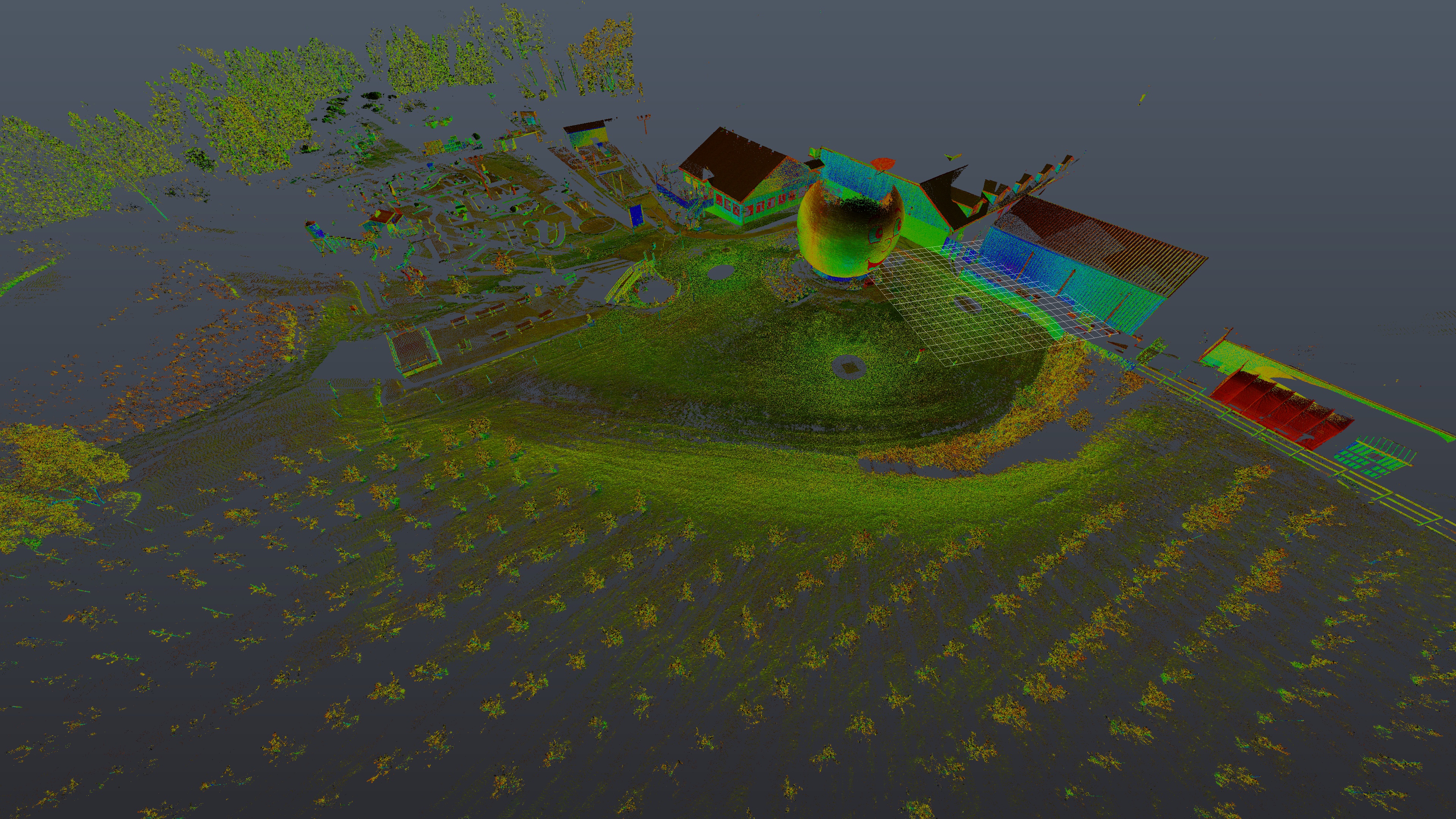
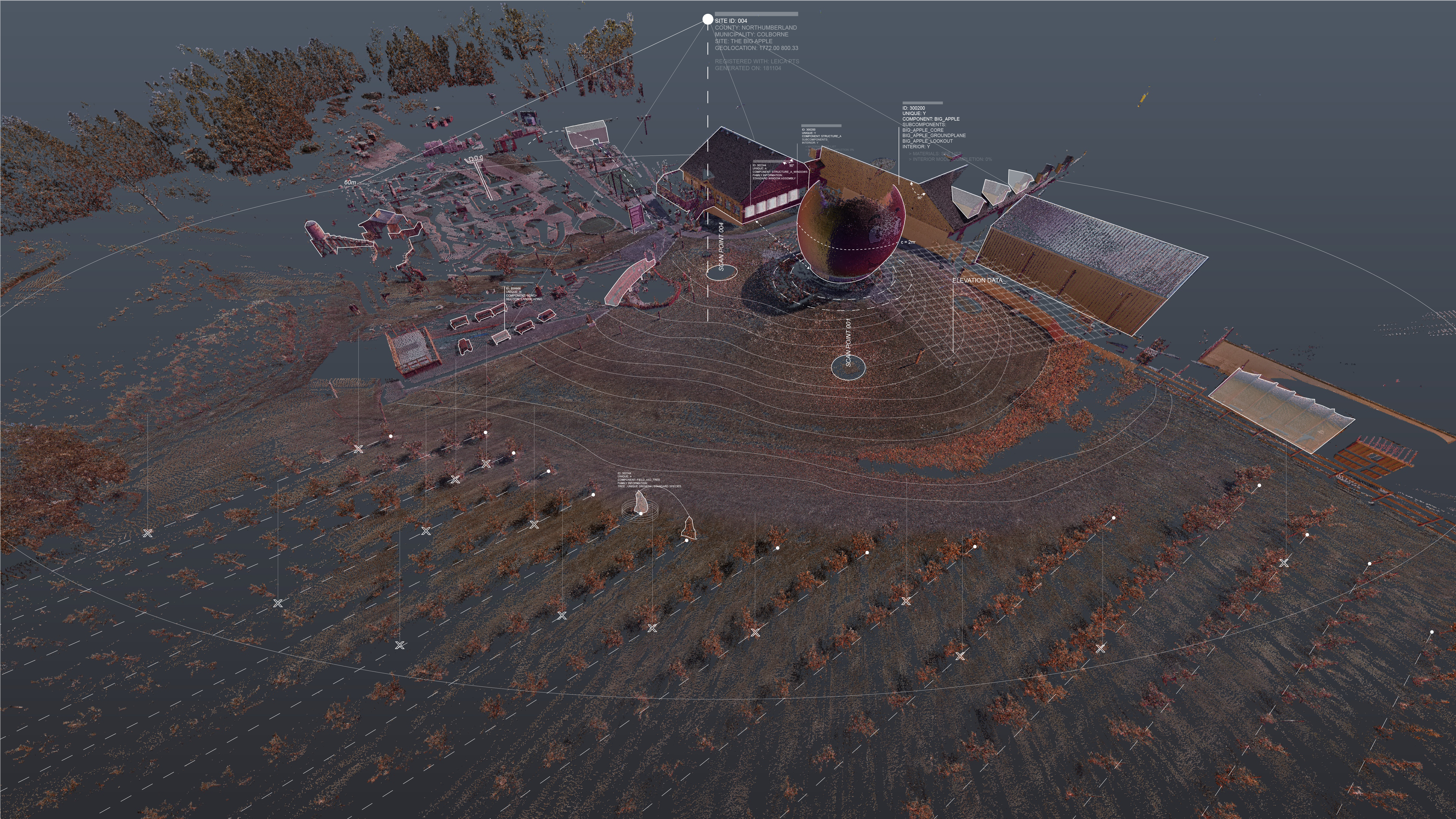
To enable this process, land and building owners would be able to place a request through the app to get their property documented. As a proof of concept, Professor Stephen Fai and researcher Kenneth Percy set out to digitize partner properties in Colborne and Brighton related to the agri-food industry. The results came as dense point clouds which the team used to model various mechanical, architectural and agricultural assets.
The diverse nature of the data gathered for OE3D gave the team a hard time populating the model. Solace came with the use of FME, Safe Software’s Data Integration Platform. The interface, which doesn’t require files to be opened and displayed, works through a system of nodes and connectors that allowed the team to read, transform and rewrite files in a single operation.
The two of the main challenges encountered in the processing of data for OE3D were how to assemble datasets with different origins and file types and how to disseminate large amounts of data effortlessly? With FME, the team was able to set up various processing pipelines to combine and integrate the information received into the app. Additionally, the team looked into the FME Server functionalities to automate packaging and download of information from the app by the stakeholders.
Throughout the data acquiring process of OE3D, the team has been diligent in keeping track of data sources and manipulations. This process allowed easy sorting of privacy requirements and classification of data based on level of accuracy.
For example, the team produced a map of local flight routes across Canada. The source data was gathered from OpenFlights, which relies on crowd-sourced flight information. Therefore, the map was generated as a proof of concept which could be used as an asset in the app if proper flight information was acquired from airlines.
