
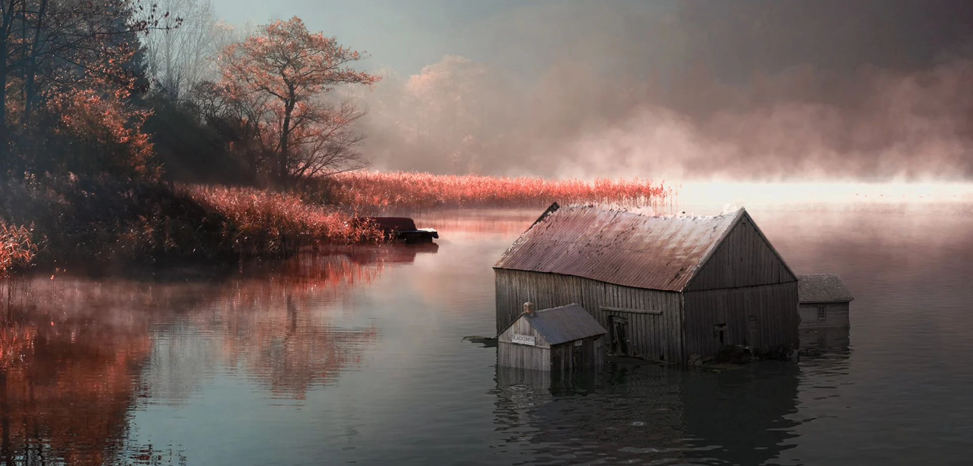
Underwater Photogrammetry of the Lost Villages in Ontario
To pick up on our previous posts, we will focus on some more photogrammetry! This week, we submerge the camera and explore a project that uses underwater photogrammetry.
CIMS Researcher, Kyle Tousant, conducted The Digital Restitution of Lot 3317 project for his master’s of Architecture thesis, completed in 2018. Focusing on The Lost Villages displaced during the construction of the St. Lawrence Seaway in 1958, the project promoted heuristic explorations surrounding its history to encourage continuing research and enhance awareness of its heritage value as a cultural asset. More importantly, the project demonstrates the benefits of maintaining a link between the forgotten assets of the Lost Villages and the historical lore of the community.
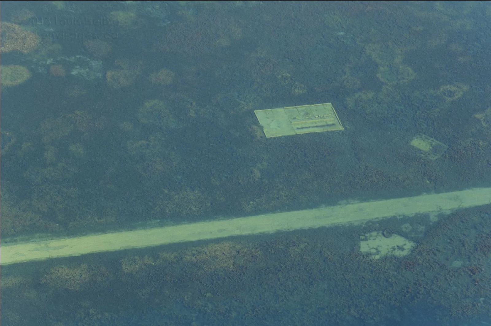
For this project, Kyle focused on the remains of buildings on either side of the Kings Highway No.2, in the area formerly known as Santa Cruz, Ontario. As seen from aerial photographs, submerged on the south side of the road is a foundation while on the north is a concrete floor. After careful research in collaboration with the Interpretive Training Programs & Historical Research Officers at Upper Canada Village , the foundation was speculated to be a barn, once owned by The Campbell’s (lot 3317).
Underwater Photogrammetry Kyle decided to use underwater photogrammetry to document the current state of the ruins. Underwater photogrammetry is the most cost effective and reliable form of capturing and reconstructing data in the field of marine archaeology. This workflow was also effective in mitigating environmental influences that may have hurt the fidelity of the project, such as strong currents, vegetation and unpredictable waves. To capture the data, Kyle wore basic snorkeling gear including a mask, snorkel, and flippers. A Go Pro Hero 5 and Iphone 7 plus were used to capture the photographs – and test out their waterproof capability.
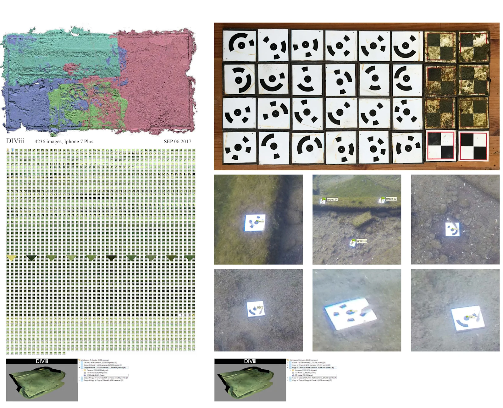
Targets Due to the depth of the water and the fixed angle of the camera lens, the working distance was quite short – meaning data was captured at close proximity. As a result, a high number of photographs were required to document the entire site. This large data set was split into multiple “chunks” to reduce the overall processing time. At the end of this process, the chunks were aligned to re-create the entire site. Kyle created a series of coded targets to establish a network of local coordinate systems known as GCPs (ground control points). Ensuring the placement of each marker was extremely important, as they played a vital role in camera calibration and confirming matches between images during the photo-alignment process. In addition, markers confirm measurements and distances within the scene and enable accurate chunk alignments. On-site, the water current is quite strong, so, Kyle fabricated weighted markers to prevent movement during the acquisition phase. In total, 54 low specularity vinyl targets were adhered to a 6mm x 105mm x 105mm metal plates.
Virtual Heritage Experience of Lot 3317 A virtual experience of Lot 3317 was realized in Unreal Engine as a real-time visualization in a head-mounted display (HMD). In addition to this VR experience, Kyle also created an alternative passive experience by rendering static panoramic views and by creating a scaled physical model. This allowed the participant to become fully immersed within the re-constructed environment and the augmented geometry within it.
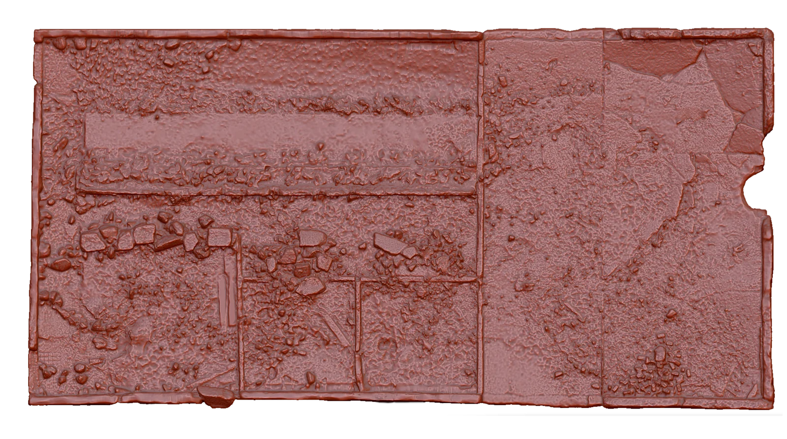
The Photogrammetric Mesh The photogrammetric meshes produced were high in detail, and this was problematic for real-time rendering on the average PC, a topic discussed further next week. If the polygon count was too high, the user might have a negative experience when the geometry is viewed in the HMD. To reduce polygon count and optimize the data, the meshes were retopologized in Z-brush, and unnecessary mesh faces were replaced with custom texture maps.
Through the exploration of The Lost Villages with underwater photogrammetry, a hidden part of Ontario’s history has been given recognition. The documentation and modelling of the culturally significant ruins have made The Lost Villages a little more visible.
Stay tuned next week we will talk in greater detail about the optimizing of photogrammetry meshes for virtual reality.